

EO4SD forest management
Mangrove assessment comprises three related products to determine important biophysical characteristics of mangrove and how they have changed over time:
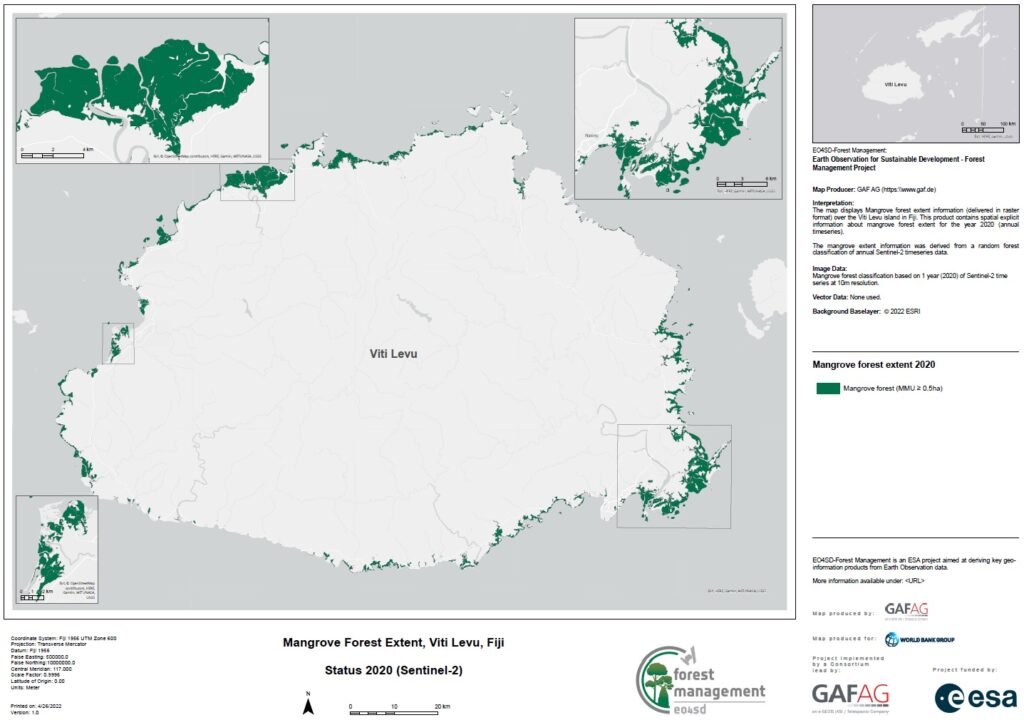
- Mangrove extent and type – shows the extent and species type/communities. The classification approach consists of a machine learning algorithm combining high resolution (HR) radar and optical imagery and in-situ data of the different mangrove types.
- Mangrove change and condition – shows the gain/loss/persistence of mangroves and it is derived from a combination of single year mangrove maps from multiple consecutive years and spectral trend information. Additional parameters that can be derived include canopy closure, timing of mangrove loss, and median loss patch area.
- Mangrove restoration and recovery assessment – begins with analysis to help prioritize areas for mangrove restoration, integrating information on coastline change, sea level, and existing mangrove extent and condition. Monitoring the mangrove using time-series of HR optical imagery informs the success of restoration. Innovative analysis can estimate time-to-recovery using undisturbed and recovered mangrove templates as reference.
Mangrove forests are an important component of coastal ecosystems and the products can be integrated into a landscape approach, contributing to blue economy planning and management of coastal land use for aquaculture, tourism, and communities and infrastructure.
Accurate mapping of mangrove extent, type, and other biophysical characteristics help management, protection, and restoration of mangroves to maintain the ecosystem services they provide. When investments are made in mangrove restoration, the performance of those investments can be monitored. Recovery assessment will allow to quantify the success of on-going mangrove rehabilitation actions, as well as to help better understand recovery trends after natural and anthropogenic disturbances and longer-term climatic effects.
Information generated could be used to inform coastal and marine spatial planning and blue economy processes through multi-criteria spatial analysis in Geographical Information Systems (GIS), particularly to balance the multiple competing uses of coastal regions.
The mangrove products can also be used as an input for:
- Assessment of Activity Data for REDD+.
- Analysis of Degradation and Deforestation.
- Identification of High Carbon Stock (HCS) forests.
- Forest management/ planning.
- Input variable to spatially explicit modelling of forest biomass and change.
PRODUCT SPECIFICATIONS
CONTENT
Detailed mapping of mangrove extent, type, canopy cover, and other biophysical characteristics and how they change over time. Changes can be characterized within a single year or from multiple consecutive years.
Identification of priority sites for mangrove restoration and monitoring of mangrove recovery trajectory to support mangrove restoration and recovery assessment.
GEOGRAPHICAL COVERAGE
Regional, National, Sub-national, Local
TEMPORAL COVERAGE & FREQUENCY
Historical data and/or specific dates.
Continuous update is possible (e.g. every 12 months, every 5 years), depending on availability of satellite data.
Analysis of the full time series can inform changes in mangrove condition and identify disturbance.
EO DATA AND SPATIAL RESOLUTION
High resolution (HR) satellite data (e.g. Sentinel-1 and Sentinel-2) with 10m resolution, Landsat data with 30m resolution
ACCURACY
Overall thematic accuracy: > 90% for mangrove area mapping.
Positional accuracy: < 1 pixel of source imagery.
Product Delivery
Available Formats
- Geodata in GeoTIFF, ASCIL or similar, accompanied with metadata (INSPIRE or ISO)
- Cartographic products in .pdf, .png or similar
Data Access Options
- USB, hard drive
- Download from dedicated password-protected FTP server or cloud platform
- Viewed online through password-protected web portal (Open Geospatial Consortium (OGC) compliant)
Support Available
- Quality Management Systems cover non-conformance issues, timely corrective actions and supporting services relating to reliability, flexibility and timely delivery of services. All quality relevant information and quality checks are documented and cover:
- Compliance of output with user requirements
- Completeness
- Thematic accuracy
- Thematic completeness
- Positional accuracy and product utility
Tailored training can be provided on product use and integration for further geospatial analysis